- Home
- Apps
- Maps & Navigation
- Norgeskart Outdoors
Norgeskart Outdoors
113 TRUSTED APP
v3.25 by Ture Apps AS


About Norgeskart outdoors
Norgeskart outdoors (Package Name: no.avinet.norgeskart) is developed by Ture Apps AS and the latest version of Norgeskart Outdoors 3.25 was updated on August 25, 2024. Norgeskart Outdoors is in the category of Maps & Navigation with the feature Travel & Local. You can check all apps from the developer of Norgeskart Outdoors and find 194 alternative apps to Norgeskart Outdoors on Android. Currently this app is for free. This app can be downloaded on Android 5.1+ on APKPure.fo or Google Play. All APK/XAPK files on APKPure.fo are original and 100% safe with fast download.
Norgeskart Outdoors has everything you need for your outdoor activities. Be it hunting and fishing, hiking, cycling, skiing or boating. All functions and content can be made available even without mobile coverage.
- Register, measure and categorise -
Register points of interest, routes, areas and record tracks. Organise the data by creating your own categories with colors and styles/icons for each category. If desired, your data can be written and read to/from GPX files or synchronised across devices and the map portal norgeskart.avinet.no. You can also easily share files with others from the lists of data in the app.
- Great outdoor maps and map layers -
Choose from more than 40 maps and map layers. Beautiful maps of Norway from the Norwegian mapping authorities can be downloaded before you go on a trip for offline use. Many apps only let you turn on one layer at a time, here you can combine as many layers as you wish to create a complete overview of your surroundings. E.g. by turning on Pistes, Avalanche steepness and Weak ice layers.
- Own map and map layers -
Are you missing a map or map layer? The app now supports adding your own maps and layers from WMS, WMTS, XYZ and TMS services. A great source for additional maps and layers in Norway is the site geonorge.no. You can also try adding maps from other countries, but the app only support Mercator and UTM33 projections.
- TellTur -
Plan your next trip with trip suggestions and descriptions from telltur.no. With TellTur you can use the app to register when you arrive at a tour destination and compete with others to visit the most places.
This app contains both free and paid content (see complete overview below). By paying for a subscription, you support the further development of the app and take full advantage of all the exciting things we have to offer.
Free content:
------------------
- Topo and nautical maps for Norway, Svalbard and Jan Mayen
- View place name and heigh/depth for cursor position
- Search for place names, addresses or coordinates
- Import and export of GPX files
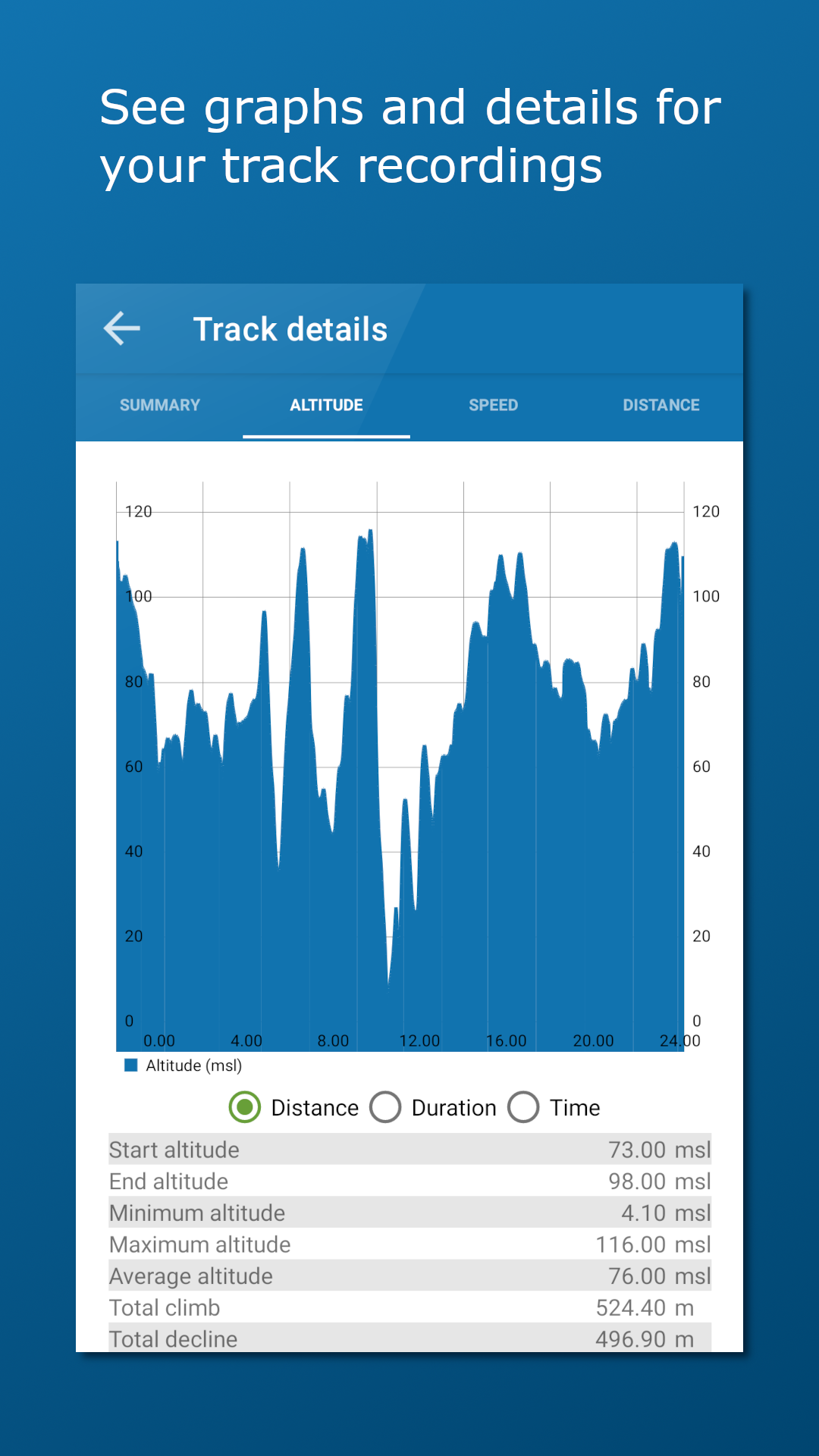
- Track recording with diagrams and details
- Create routes and POIs
- Compass
- Property borders
Pro subscription:
------------------
- Create and measure areas
- Create own categories
- Download Norwegian maps for offline use
- Topo map of Sweden (offline, but without download area function)
- Upload POIs, tracks and routes
- Synchronize your data across devices and with map portal
- Advanced properties layer (cadastre)
- Economic (N5 raster) map
- Historical map
- Trails
- Mountain bike routes
- Pistes for Alpine and Cross-country
- Avalanche awareness, steepness and incidents
- Weak ice
- Snow depth and skiing conditions
- Snowmobile tracks
- Sea depths and lake depths
- Anchorages
- Conservation areas
- Clay and radon
- Open air routes summer and winter
Pro+ subscription (199 NOK a year):
------------------
- All in Pro
- Orthophoto maps for Norway and Svalbard
- Add your own maps and layers
- (New) Bedrock map layer
- Periodic update of points from online KML files. Tested with TeleSpor.
- Register, measure and categorise -
Register points of interest, routes, areas and record tracks. Organise the data by creating your own categories with colors and styles/icons for each category. If desired, your data can be written and read to/from GPX files or synchronised across devices and the map portal norgeskart.avinet.no. You can also easily share files with others from the lists of data in the app.
- Great outdoor maps and map layers -
Choose from more than 40 maps and map layers. Beautiful maps of Norway from the Norwegian mapping authorities can be downloaded before you go on a trip for offline use. Many apps only let you turn on one layer at a time, here you can combine as many layers as you wish to create a complete overview of your surroundings. E.g. by turning on Pistes, Avalanche steepness and Weak ice layers.
- Own map and map layers -
Are you missing a map or map layer? The app now supports adding your own maps and layers from WMS, WMTS, XYZ and TMS services. A great source for additional maps and layers in Norway is the site geonorge.no. You can also try adding maps from other countries, but the app only support Mercator and UTM33 projections.
- TellTur -
Plan your next trip with trip suggestions and descriptions from telltur.no. With TellTur you can use the app to register when you arrive at a tour destination and compete with others to visit the most places.
This app contains both free and paid content (see complete overview below). By paying for a subscription, you support the further development of the app and take full advantage of all the exciting things we have to offer.
Free content:
------------------
- Topo and nautical maps for Norway, Svalbard and Jan Mayen
- View place name and heigh/depth for cursor position
- Search for place names, addresses or coordinates
- Import and export of GPX files
- Track recording with diagrams and details
- Create routes and POIs
- Compass
- Property borders
Pro subscription:
------------------
- Create and measure areas
- Create own categories
- Download Norwegian maps for offline use
- Topo map of Sweden (offline, but without download area function)
- Upload POIs, tracks and routes
- Synchronize your data across devices and with map portal
- Advanced properties layer (cadastre)
- Economic (N5 raster) map
- Historical map
- Trails
- Mountain bike routes
- Pistes for Alpine and Cross-country
- Avalanche awareness, steepness and incidents
- Weak ice
- Snow depth and skiing conditions
- Snowmobile tracks
- Sea depths and lake depths
- Anchorages
- Conservation areas
- Clay and radon
- Open air routes summer and winter
Pro+ subscription (199 NOK a year):
------------------
- All in Pro
- Orthophoto maps for Norway and Svalbard
- Add your own maps and layers
- (New) Bedrock map layer
- Periodic update of points from online KML files. Tested with TeleSpor.
Norgeskart outdoors 3.25 Update
- Improved map engine
- Changed map service for the map Svalbard and fixed Svalbard FKB map.
- Fixed downloading named map areas for Svalbard and Jan Mayen maps.
- Fixed placename and height at cursor in info box.
- Fixed centering of map when selecting map in a different area.
- Minor fixes and improvements.
- Changed map service for the map Svalbard and fixed Svalbard FKB map.
- Fixed downloading named map areas for Svalbard and Jan Mayen maps.
- Fixed placename and height at cursor in info box.
- Fixed centering of map when selecting map in a different area.
- Minor fixes and improvements.
Read More
Previous Versions More
Norgeskart Outdoors
3.25
XAPK
APKs
September 2, 2024
17.73 MB
Requires Android: Android 5.1+
Screen DPI: nodpi
SHA1: b48b4505f987c835bb518d7307b886978add0ecc
Size: 17.73 MB
What's New:
- Improved map engine
- Changed map service for the map Svalbard and fixed Svalbard FKB map.
- Fixed downloading named map areas for Svalbard and Jan Mayen maps.
- Fixed placename and height at cursor in info box.
- Fixed centering of map when selecting map in a different area.
- Minor fixes and improvements.
- Changed map service for the map Svalbard and fixed Svalbard FKB map.
- Fixed downloading named map areas for Svalbard and Jan Mayen maps.
- Fixed placename and height at cursor in info box.
- Fixed centering of map when selecting map in a different area.
- Minor fixes and improvements.
Norgeskart Outdoors
3.24.4
XAPK
APKs
July 23, 2024
17.75 MB
Requires Android: Android 5.1+
Screen DPI: nodpi
SHA1: 372b179580d071b543b0cd9c49aea17cb883bc69
Size: 17.75 MB
What's New:
3.24.4:
- Fixed innermost zoom level topo maps.
- Possible to zoom an extra level than available from service.
- Some minor fixes
3.24.x:
- New map services for sea map, topo maps and raster
- New and improved map selector
- Store and administrate named map areas
- Trails map layer
- Bedrock map layer
- Fixed innermost zoom level topo maps.
- Possible to zoom an extra level than available from service.
- Some minor fixes
3.24.x:
- New map services for sea map, topo maps and raster
- New and improved map selector
- Store and administrate named map areas
- Trails map layer
- Bedrock map layer
Norgeskart Outdoors
3.23.3
APK
May 20, 2024
14.43 MB
Requires Android: Android 5.1+
Screen DPI: nodpi
SHA1: 4b5b10d0b99be752f62e0ac1043ba6a5ff8a9a10
Size: 14.43 MB
What's New:
3.23.2:
- Fixes and minor improvements
3.23.x:
- Added Orthophoto for Norway and Svalbard with Pro+ subscription
- Fixes and minor improvements
3.23.x:
- Added Orthophoto for Norway and Svalbard with Pro+ subscription
Norgeskart Outdoors
3.23.1
XAPK
APKs
April 16, 2024
13.54 MB
Requires Android: Android 5.1+
Screen DPI: nodpi
SHA1: eeaddf42a7ad54a846ddfd6413a0231a7f9c12cf
Size: 13.54 MB
What's New:
3.23.1:
- Improved memory handling to prevent possible stop in track recording.
- Fixed Jan Mayen map.
3.23.x:
- Added Orthophoto for Norway and Svalbard with Pro+ subscription
- Fixed tiles sometimes becoming blank if panning quickly back and forth.
- Fixed Svalbard FKB map.
- Improved memory handling to prevent possible stop in track recording.
- Fixed Jan Mayen map.
3.23.x:
- Added Orthophoto for Norway and Svalbard with Pro+ subscription
- Fixed tiles sometimes becoming blank if panning quickly back and forth.
- Fixed Svalbard FKB map.
More Information
Package Name:
Category:
Update Date:
2024-08-25
Latest Version:
3.25
Need Update:
Available on:
Requirements:
Android 5.1+
Report:
Alternatives to Norgeskart outdoors
Campercontact - Camper Van
Quickly and easily find among 50,000+ camper sites in 58 countries.
6.9 1K+
Detecht - Motorcycle App & GPS
Motorcycle gps app for tracking, planning and navigation with crash detection.
7.8 159
FINN.no
Mulighetenes marked har aldri vært raskere. Lagre ditt drømmesøk, få varsel!
8.4 1K+
c:geo
c:geo ~ Let's find some geocaches!
8.5 6K+
A Better Routeplanner (ABRP)
Simply a better way to learn and plan your trips with an Electric Vehicle.
6.4 235